Teaching Coordinate Grids
There are some standards I highly anticipate teaching, and coordinate graphing is one of them! Teaching coordinate graphing in upper elementary can be a ton of fun, and there are so many ways to make it incredibly engaging. There are so many different skills to practice and cross-curricular ways to integrate math with social studies, which is always a win in my book.
Coordinate Graphing Unit Outline
Even though it's a relatively short unit (because kids tend to grasp the concepts fairly quickly, there are a number of specific skills that we focus on. Within our coordinate grid unit, we make sure to cover the following, in this order:
- Coordinate plane vocabulary
- coordinate plane, x-axis, y-axis, origin, plane, quadrants, ordered pairs
- Identifying given locations on a coordinate plane
- Plotting locations on a coordinate plane
- Following and writing directions on a coordinate plane,
- Measuring distances
- Map scales

We usually work on coordinate grids after we have mastered patterns and function tables, since they will be used heavily in creating ordered pairs. If you want to go back and cover those skills first, this post is a great place to start!
Teaching Coordinate Grids Anchor Chart
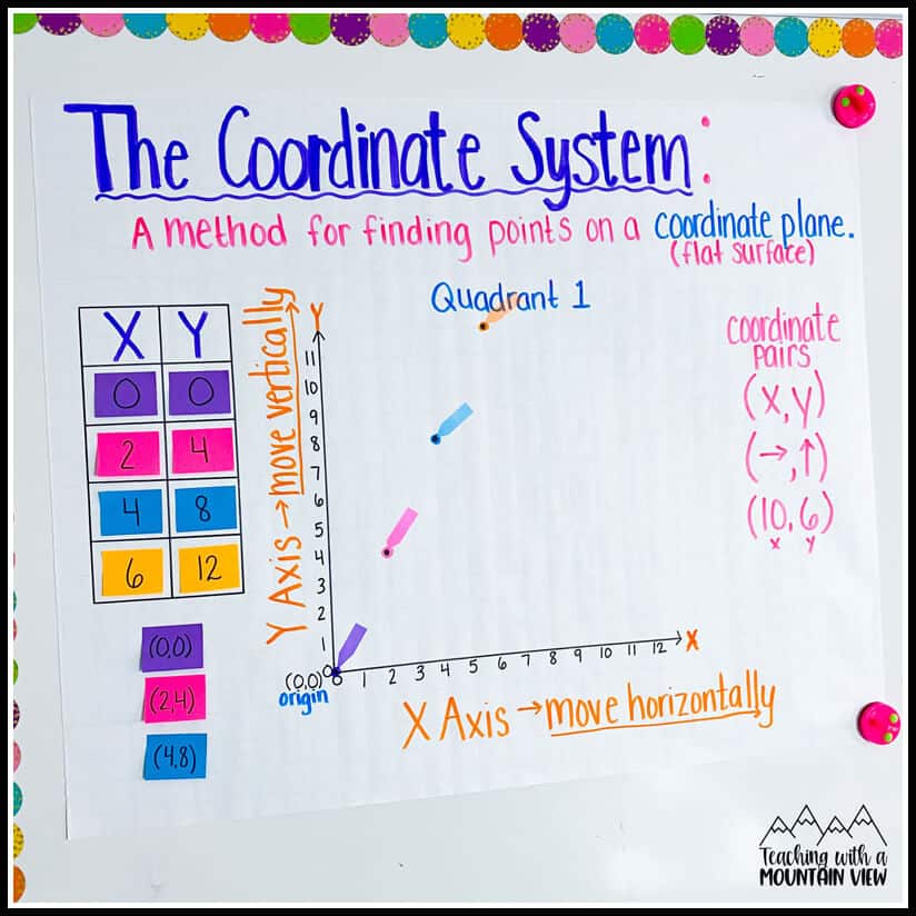
Like with just about every unit, we begin by creating a coordinate graphing anchor chart together. We review ALL of the vocabulary words listed above and incorporate them into our anchor chart. (I'm a STICKLER for vocabulary! Read more about my math vocabulary beliefs HERE.) I rarely laminate anchor charts, but I typically do laminate this one just so that we can use it throughout our unit. If you can't, no big deal! Just use sticky notes to plot a variety of points, images, etc. so that you can reuse them over and over. That's what I did on this sample chart, and it works perfectly fine.
Coordinate Grid Center or Activity Ideas
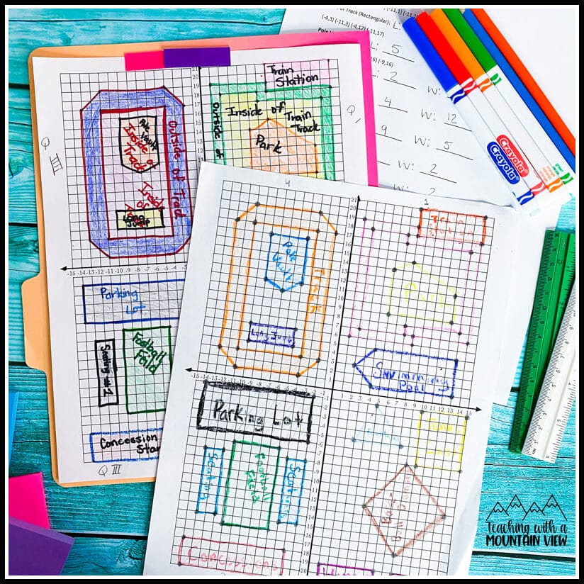
Real World Applications: First and foremost, I always strive to show students how each concept actually works in “real life” situations. Students can work in teams to make a classroom grid, playground grid, etc. They need to design the grid and function table, as well as make questions to go with it. Then teams trade function grids, plot the coordinates to create maps, and answer the questions in order to locate items on the grid. My students loved creating these and going on missions around the school. Their favorite was when I let them design a school playground, plot all the points, then switch with someone else. I loved seeing what they included (a Gaga ball court was a must!).
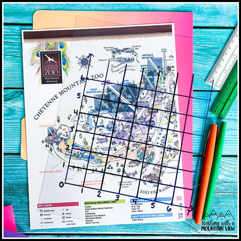
Plan A Trip: Collect zoo maps, amusement park maps, historical site maps, etc. from “dream” locations that your students would love to explore. Many of these are now available online and can be used digitally or printed. Although most don't already have a coordinate grid system included, you can use transparencies, sheet protectors, or even clear post-it notes (affiliate link) to build a coordinate grid system OVER the map. I've also blown it up on my whiteboard or Smartboard and placed a grid over it in a program like Google Slides. This helps students learn to build the coordinate grids AND identify locations within them. Students can quiz each other on the location of specific items from each map. You can easily tie in geography and social studies skills here as well (during our Titanic unit, we tie in latitude and longitude and plot the important locations on its journey as well as the iceberg warnings).
Mystery Shapes: Have students plot an assigned geometric shape and create a function table for it, but make sure the keep it a secret. Then they trade tables with a friend. As students plot the coordinates, they reveal the mystery shape and identify patterns in the function table. This is a great way to review geometric shapes, perimeter/area, lines, and angles. As a bonus, you can have each mystery picture creator also write questions about their shape (what's the area, what's the length, how many acute angles, etc.).
Candy Math: Who doesn't love candy math? My Candy Math activities include a page on coordinate graphing, but you can also do something super fun with holidays like Halloween. Get a variety of small candies (Smarties, Skittles, M&Ms, Sweethearts, etc.). Tell students the coordinate pair where each candy belongs. Then explain that this is a map of the neighborhood where you've gone trick or treating, and the plotted points are where you can get each type of candy. This is a GREAT time to incorporate writing directions (up three, right four, etc.) and map scales into your coordinate graphing lesson.
Coordinate Grid Candy Game: Michele from Coffee Cups and Lessons Plans created a life-sized coordinate candy grid with her class to practice quadrants and ordered pairs. This would be such a unique way to end the unit!
Coordinate Grids Math Project, Task Cards, and Error Analysis
The following resources are all available in this epic Coordinate Grid Bundle. Pair these resources with the ideas and anchor chart above, and you will have everything you need for your unit!
Drone Delivery Math Project: This. Is. So. Much. Fun! Your students will LOVE this incredibly engaging Drone Delivery Math Project that covers a multitude of coordinate grid skills. Students imagine themselves as pilots in charge of drones that deliver packages for the fictional company Amazion! As a cross-curricular bonus, it also includes an informational text article on the history of drones and the real Amazon delivery service.
I use math projects in so many different ways. You can use them as a cumulative assessment, in centers, for mini room transformations (each student gets a drone operator license for this one!), homework, and more.
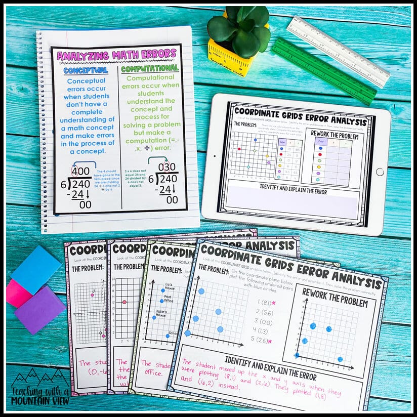
Coordinate Graphing Error Analysis: In addition to the math project, I am a huge fan of using error analysis to get students to think critically about skills they are working on. This is a mini-set of error analysis tasks, and I LOVE seeing students explain the errors being made.
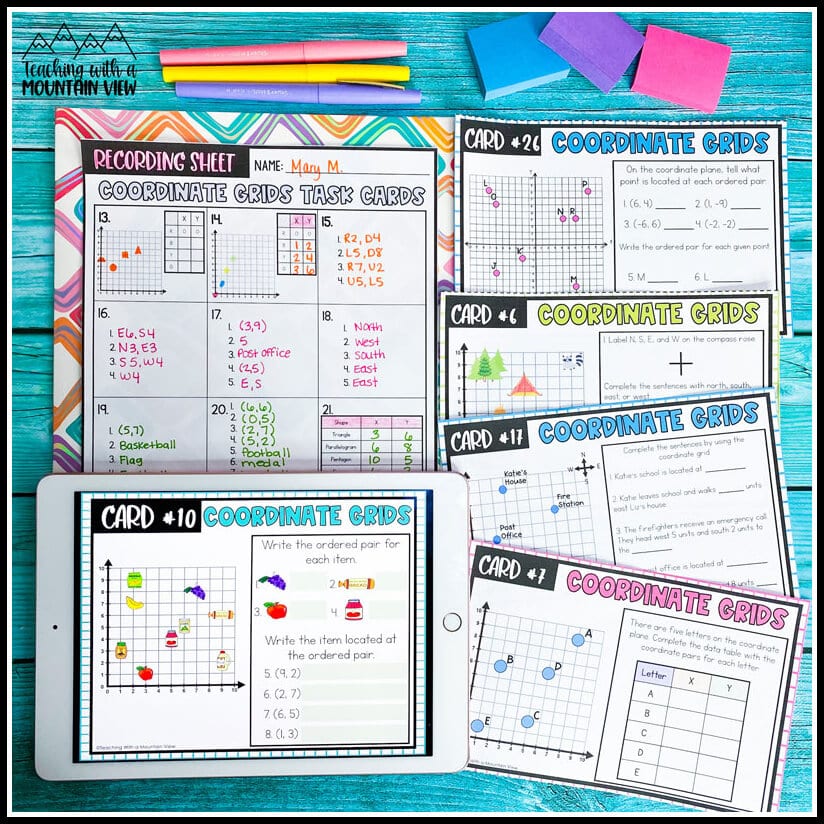
Coordinate Grid Task Cards: These task cards are ESSENTIAL to your math centers! I like to have students complete several per day to practice their skills. Each card has multiple questions and tasks, so you get a lot of practice that kids absolutely love.
Coordinate Graphing In the Garden FREEBIE
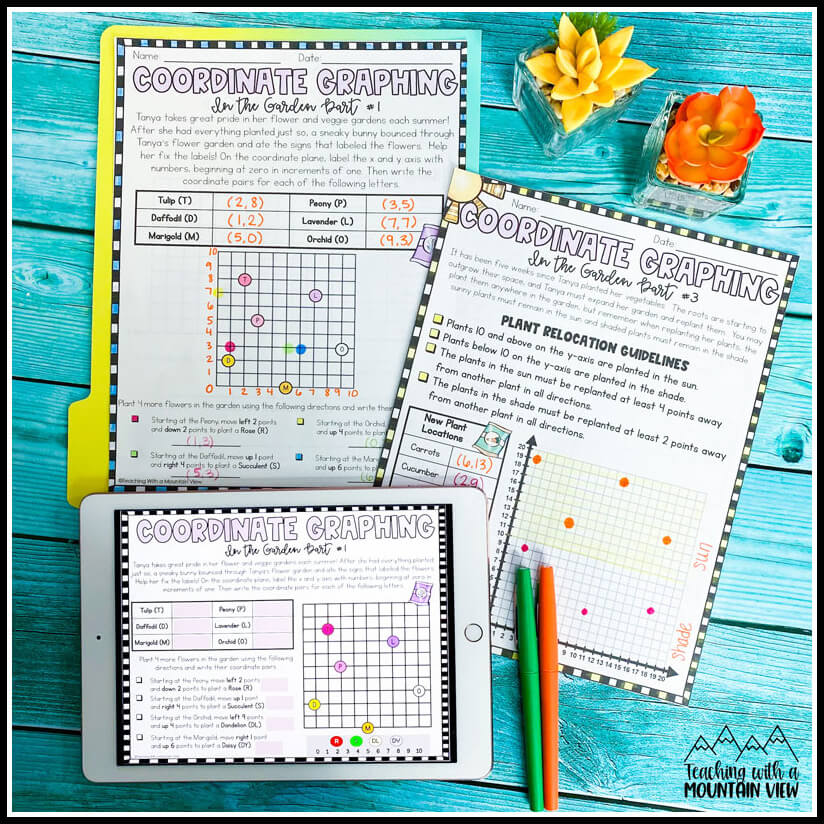
During our weeklong unit, we cover so many coordinate graphing skills. While I have students working on the center activities above, I am usually pulling small groups focusing on the skills we are learning about. This FREE coordinate grid activity is perfect for that! Complete one page per day with your small groups (or have them complete it independently) to hit ALL of the coordinate grid skills.
Free Coordinate Grid Quiz or Assessment
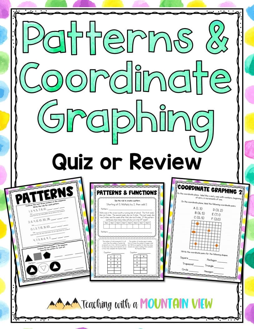
Ready to assess? Click HERE to grab this free coordinate graphing quiz or review activity. I double this up with my patterns assessment because I always teach them together. It is available in both printable and digital versions.
The post Teaching Coordinate Grids appeared first on Teaching with a Mountain View.


